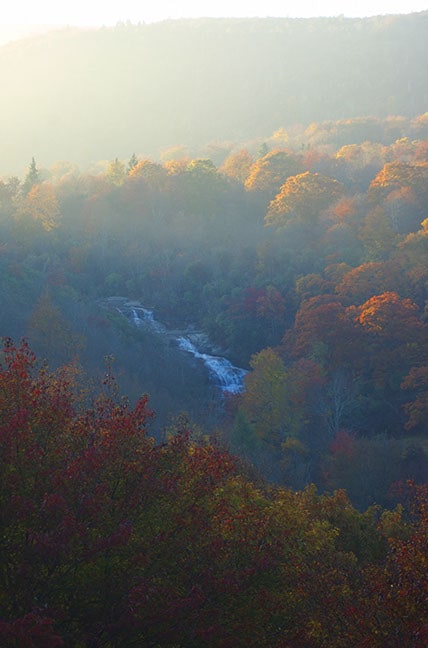
Graveyard Fields, Blue Ridge Parkway

Graveyard Fields is the name of a flat mountain valley in the Blue Ridge Mountains of western North Carolina. It is near the source of the Yellowstone Prong of the Pigeon River. The valley's name originates from a time when a great windstorm felled hundreds of spruce and fir trees on its slopes. The area was subject to extensive logging during the early 20th century; and devastating wildfires swept the area in 1925 and 1940, heating the soil enough to sterilize it.
• Difficulty: Moderate
• Total Length: 3.2 mi
• Trail Tread Condition: Some Obstacles
• Climb: Hilly
• Lowest Elevation: 4960 ft
• Highest Elevation: 5320 ft
• Total Elevation Gain: 450 ft
• Trails/Roads Used: Graveyard Fields
• Hike Configuration: Loop, out-and-back extension
• Starting point: Graveyard Fields Overlook on the Blue Ridge Parkway at milepost 418
• The Graveyard Fields overlook is at milepost 418; park here. The trail starts at the right side of the large map.